- Satteläcker 17, 70565 Stuttgart, Germany
About us


About Nerxon

NERXON GNSS Products
Nerxon Company started in 2017 in Stuttgart city, our technique team gather in company with some members including surveying engineers in the field of photogrammetry and geodesy, electronic engineer, software engineers and full stack developers. The company started manufacturing GNSS devices and poles according to engineers, usual clients and engineering requirements to improve the ability and accuracy of 3D localization, positioning techniques, data visualization and engineering calculation. Nerxon has investment and product expansion all over the world with no limit, covering all projects and requirements in the field of geomatics and surveying engineering. Our vision in this company is to advance in the fields of modern surveying science and technology, and expand computational solutions in the fields of positioning and metric products for surveying and execution.
- Management
- 24-hour support
- Optimized service

Nerxon GNSS Application

Since its inception in 2017 in Stuttgart, Nerxon has placed significant emphasis on building a robust R&D team that plays a pivotal role in the company’s innovation and technological advancement. The team, consisting of seven highly skilled professionals, includes experts in surveying, photogrammetry, geodesy, electronic engineering, and software development.
Team Composition and Expertise:
Survey Engineers: Specialists in photogrammetry and geodesy form the core of our team, contributing deep knowledge in 3D localization, precise visual positioning techniques and advanced surveying methods. We analyze every parameter that affects the accuracy and data accessibility of GNSS devices based on the geodetic and photogrammetric documentation and develop brand new solutions and algorithms to improve robustness and accuracy.
Electronic Engineer: Responsible for the design and development of the electronic systems and boards with mechanical background and capability of design and implementation within our GNSS devices, ensuring they meet the rigorous standards of modern geospatial technology.
Software Engineers and Full Stack Developers: These members are integral to creating the software solutions that power our GNSS devices, including the development of data visualization tools and engineering calculation software. Their expertise ensures that our products are not only technically advanced but also user-friendly and adaptable to various professional needs.


Nerxon GNSS Application

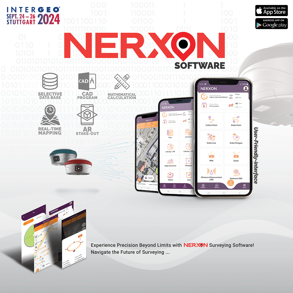
Vernal Application presents multi-functional, state-of-the-art technology tools within a user-friendly structure capable of managing various databases and applicable plugins.
Application services
- AR (Augmented Reality): implementation of 3d point coordinates using Augmented Reality on the real preview captures.
- AutoCAD: create precise 2D drawings which allows users to add text and annotations, in order to convey important measurements
- Satellite map: Display online and offline satellite map in order to manage the collected dataset and preview the existing locations
- COGO: Stands for Coordinate Geometry, is an Engineering calculator determines points using mathematics and calculates distances and angles.
- Interactive UI: We strive to provide high-quality service and support with the latest and most innovative technology to-date.
With many other features suitable for any surveying project and for anyone interested in utilizing a GNSS device for measuring systems.

Asked Questions

What makes Nerxon’s GNSS devices stand out from the competition?
Nerxon’s GNSS devices distinguish themselves through advanced technology developed by our highly skilled R&D team. Our products feature cutting-edge 3D localization and visual positioning techniques that ensure superior accuracy and reliability. Additionally, our devices are designed with robust electronic systems and user-friendly software solutions, making them ideal for a wide range of surveying and engineering applications. We also offer a variety of models to meet different needs, including laser positioning, image-based positioning, and economical options.
What industries benefit the most from using Nerxon’s GNSS devices?
Nerxon’s GNSS devices are highly beneficial for industries such as surveying, construction, civil engineering, and geospatial analysis. Our products are designed to enhance 3D localization, positioning accuracy, and data visualization, making them ideal for tasks that require precise measurements and advanced surveying techniques.
How does Nerxon ensure the accuracy of its GNSS devices?
Accuracy is a cornerstone of our product design. Our GNSS devices are developed with advanced algorithms and robust electronic systems, and our R&D team continuously tests and refines them to meet stringent accuracy standards. We also use high-quality components and perform rigorous quality control throughout the manufacturing process to ensure precise performance.
manufactured products
0
+
Number of customers
0
+
Customer satisfaction
0
%
Nerxon’s R&D team is also committed to supporting the company’s global expansion efforts. They work on developing products that cater to the diverse needs of clients worldwide, ensuring that our GNSS devices are at the forefront of the geomatics and surveying industry. Their ongoing efforts align with Nerxon’s vision to advance in modern surveying science and technology, expanding computational solutions for positioning and metric products globally. The R&D team’s contributions are crucial in maintaining Nerxon’s position as a leader in the industry, constantly pushing the boundaries of what is possible in geomatics and surveying engineering.
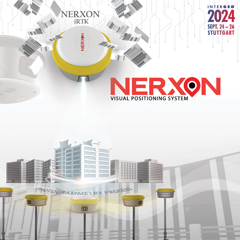
The production line in Stuttgart, under the supervision of surveying and geomatics engineers, currently manufactures GNSS receivers in three models: laser positioning, image-based positioning and an economical model. This production line also includes other auxiliary equipment such as prisms and surveying poles, laser measurement meters and tripods. Nerxon has active cooperation with other selling and producing customers, and the products are comparable and can be serious competitor for large-scale manufacturers and pioneer surveying companies.
