- Satteläcker 17, 70565 Stuttgart, Germany
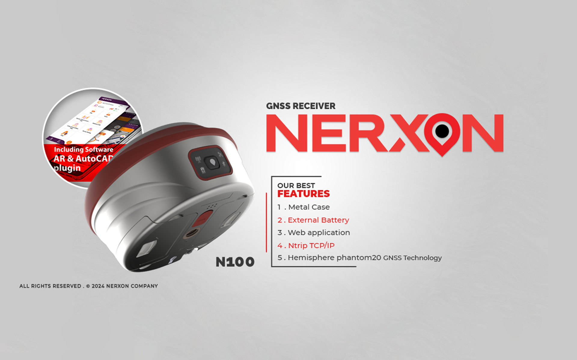
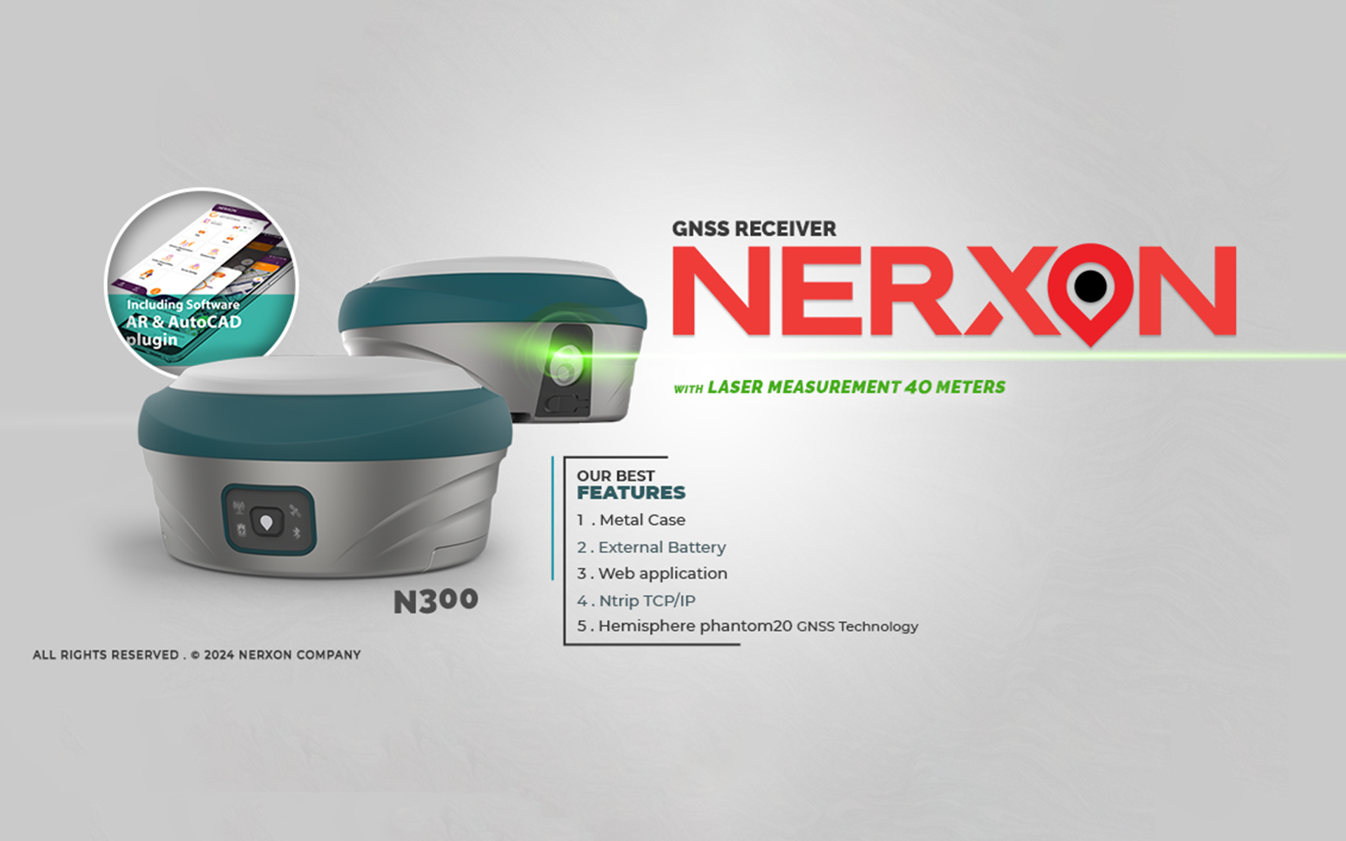
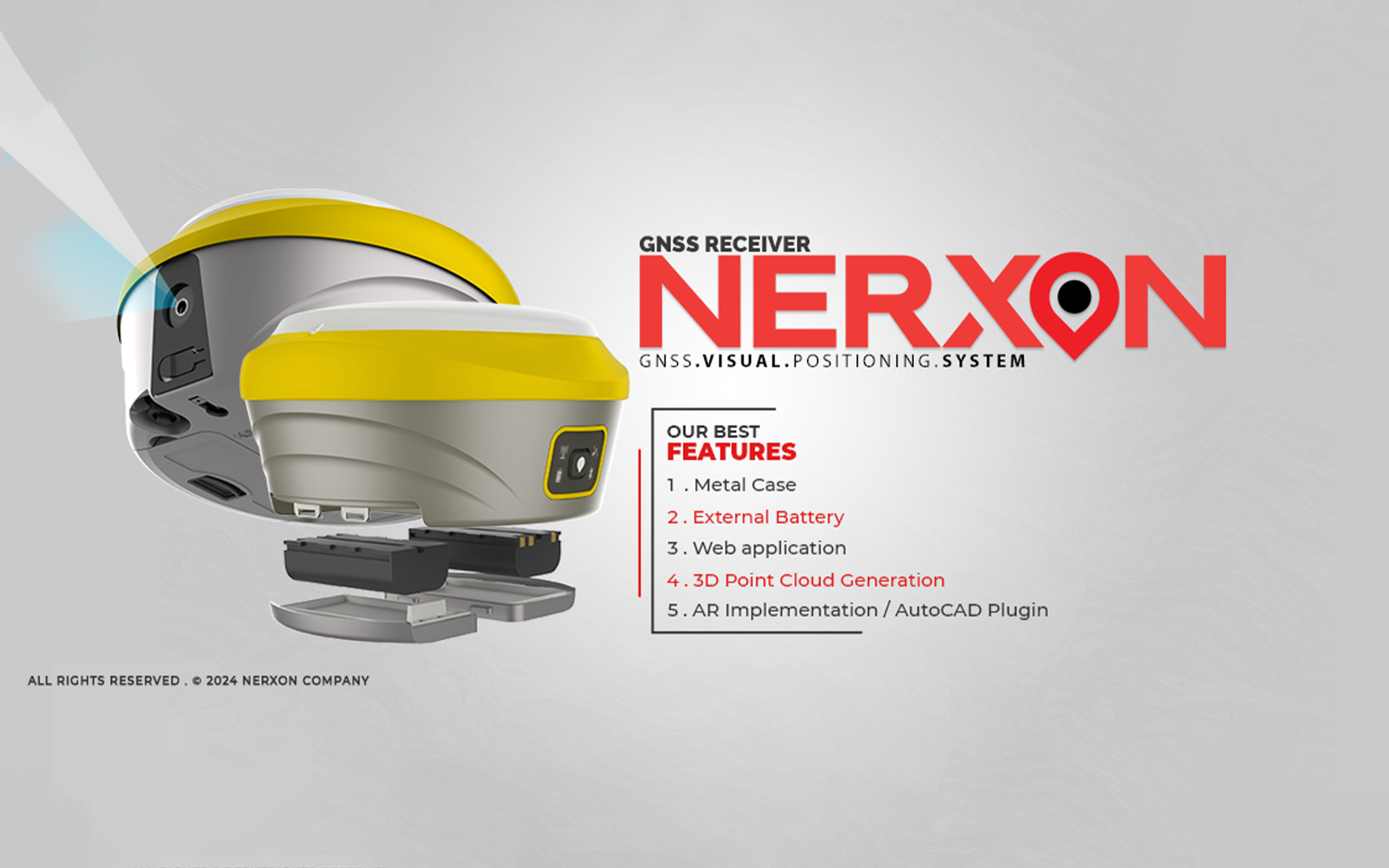
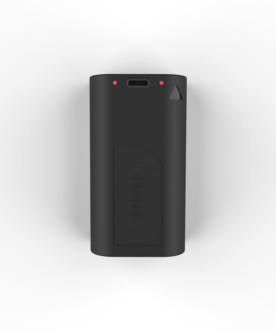
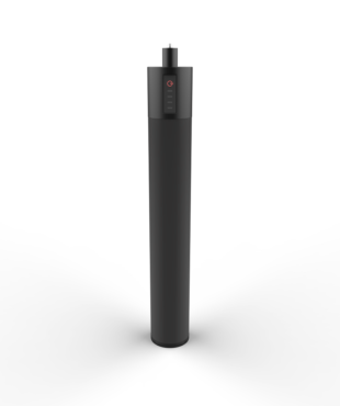
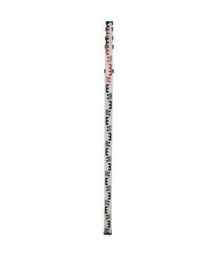
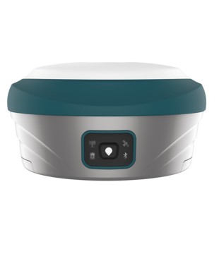
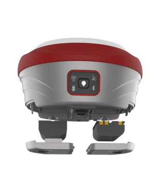
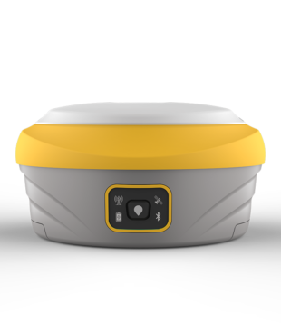
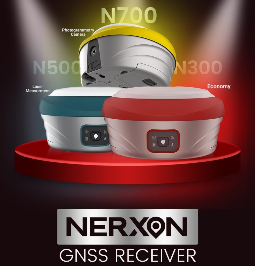
GNSS devices and poles
Improve the ability and accuracy of 3D localization, positioning techniques, data visualization and engineering calculation.
Investment and development
Nerxon has investment and product expansion all over the world with no limit, covering all surveying engineering projects.
Progress in modern geomatics
Expansion of computing solutions in the field of positioning and metric products for mapping and implementation

About Nerxon

Nerxon Company started in 2017 in Stuttgart city, our technique team gather in company with some members including surveying engineers in the field of photogrammetry and geodesy, electronic engineer, software engineers and full stack developers. The company started manufacturing GNSS devices and poles according to engineers, usual clients and engineering requirements to improve the ability and accuracy of 3D localization, positioning techniques, data visualization and engineering calculation. Nerxon has investment and product expansion all over the world with no limit, covering all projects and requirements in the field of geomatics and surveying engineering. Our vision in this company is to advance in the fields of modern surveying science and technology, and expand computational solutions in the fields of positioning and metric products for surveying and execution.
NERXON'S Product

Nerxon GNSS Application

Application services
- AR (Augmented Reality): implementation of 3d point coordinates using Augmented Reality on the real preview captures.
- AutoCAD: create precise 2D drawings which allows users to add text and annotations, in order to convey important measurements
- Satellite map: Display online and offline satellite map in order to manage the collected dataset and preview the existing locations
- COGO: Stands for Coordinate Geometry, is an Engineering calculator determines points using mathematics and calculates distances and angles.
- Interactive UI: We strive to provide high-quality service and support with the latest and most innovative technology to-date.
With many other features suitable for any surveying project and for anyone interested in utilizing a GNSS device for measuring systems.

Customers comments

Read NERXON customers’ reviews and find out the quality of our product
I've been using Nerxon's GNSS devices for the past year, and I'm incredibly impressed. The accuracy and reliability are top-notch

Maria Smith
Nerxon's software has revolutionized my data processing workflow. The intuitive interface and powerful features make it a breeze to analyze and visualize my data

Anna Lee
Nerxon's customer support is exceptional. They're always quick to respond and helpful in resolving any issues

Max Martinez
We've been using Nerxon's poles for our large-scale construction project, and they've performed admirably. They're durable and easy to use

David Louis
As a surveying student, I've found Nerxon's products to be invaluable. The quality and affordability are great. I am waiting for the next products

SurveyStudent

NERXON Vision

Our vision in this company is to advance in the fields of modern surveying science and technology, and expand computational solutions in the fields of positioning and metric products for surveying and execution.
Measurement accuracy
99%
Computational solutions
91%
manufactured products
0
+
Number of customers
0
+
Customer satisfaction
0
+
Latest articles
Nerxon articles on modern mapping technology and computing solutions.
Errors Concepts in Surveying Engineering
Nerxon publication, Published date: Nov.2022 Surveying is a set of calculations and measurements that result in the creation of a map. In any surveying operation, the presence of errors ...

Types of Coordinate Determination Methods
Nerxon publication, Published date: May.2023 Understanding the capabilities of satellite receivers before starting work is crucial. When working with GPS, line of sight between points is not necessary. GPS ...

Types of Coordinate Determination Methods2
Nerxon publication, Published date: Aug.2023 Relative positioning is different from absolute positioning. An independent receiver must perform positioning based on navigation message information. In relative positioning, the unknown ...

Geoid and Mean Sea Level (MSL)
Part I: Mean Sea Level (MSL) The Mean Sea Level (MSL) is the average height of the ocean's surface, measured over extended periods, typically a month or a year. This ...


